Natl. Radar Team Guides Idaho Searchers to Downed Plane, Survivor
Analysts Handle 1.2 Million Radar Targets in 30 Minutes
Lt. Col. Mike Daniels
Public Information Officer
Colorado Wing
A U.S. Forest Service helicopter was able to quickly locate a downed plane and rescue a survivor Sept. 2, thanks in large part to the combined work of Civil Air Patrol's National Radar Analysis and Cell Phone Forensics teams.
The Idaho Transportation Department’s Division of Aeronautics requested the CAP teams' assistance in the search through the Air Force Rescue Coordination Center (AFRCC.)

“The radar data provided by CAP allowed them to direct the helicopter immediately to the scene without delay,” said Mike Pape of the Division of Aeronautics.
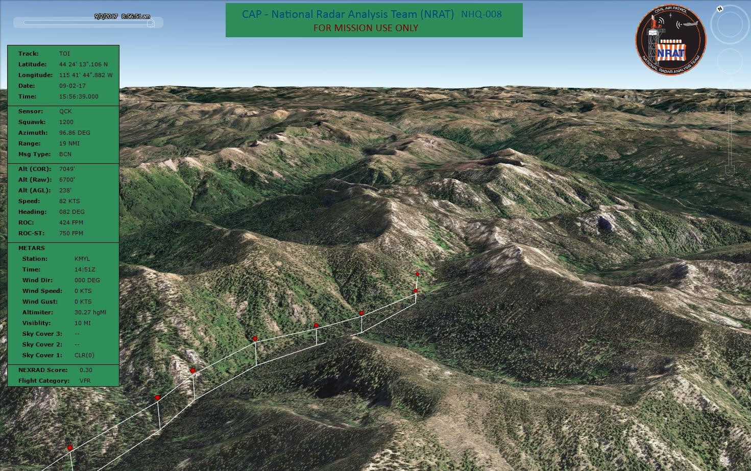
The plane, a Glasair GlaStar, was flying from High Valley to Sulphur Creek, Idaho, when radar data showed it hit rising terrain north of Deadwood Reservoir.
Once assigned by the AFRCC, the CAP radar team analyzed and processed about 1.2 million radar targets in 30 minutes to determine the GlaStar’s correct radar track. The team was then able to pinpoint the downed plane’s location.
A team from Two Bear Air Rescue from Kalispell, Montana, hoisted the survivor to Cascade, Idaho, to meet a Life Flight helicopter for transport to a Boise hospital. The other person aboard the GlaStar died in the crash.
No flight plan was filed. Lt. Col. Mark Young of the radar team said the injured survivor was able to call 911, enabling the Boise County and Valley County sheriff’s offices to begin rescue efforts. A Forest Service helicopter fighting a fire in the area was then asked to assist.
The remote area rendered the 911 and cell location data inaccurate, so officials sought the radar team’s assistance.


