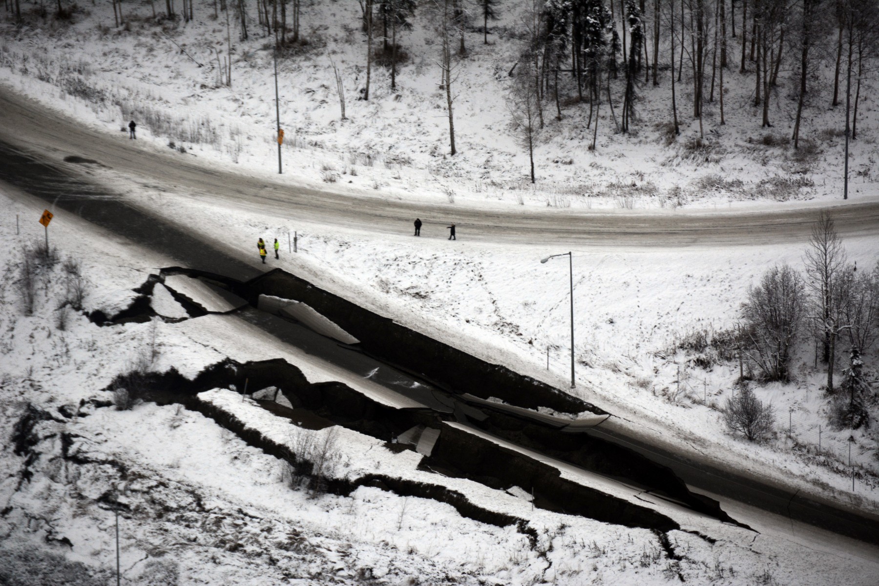
Alaska Wing Post-Quake Flights Generate 700 Photos for FEMA
2nd Lt. Jacob Baugh
Assistant Public Affairs Officer
Alaska Wing

Three Alaska Wing aircrews launched Friday after the 7.2 magnitude earthquake near Anchorage surveyed about 200 miles of highway and 150 miles of railway and gas lines, producing about 700 photos for emergency officials to use in evaluating possible damage and how best to respond.
The three planes were flying after the Alaska Joint Rescue Coordination Center activated the wing to provide search and rescue support for stranded motorists along stretches of wilderness highways without alternate means of egress.
The aircrews generated photos of critical infrastructure such as bridges and overpasses along three routes. They subsequently downloaded the images to the Federal Emergency Management Agency’s website. They also surveyed two ports to verify ocean vessels and the environment weren’t immediately threatened.
Aircrews also tracked two activated emergency locator transmitters in the quake-affected area and coordinated with Alaska Wing ground teams, ensuring prompt response in checking and silencing the beacons.
Alaska Wing members are working in the state’s emergency operation center and the Joint Rescue Coordination Center. The wing will continue to accept assignments for search and rescue and disaster relief and assessment as needed.
Immediately following the initial quake, wing leaders contacted all 19 squadrons within a 275-mile radius of the epicenter. Squadrons as far east as Tok and as far west as King Salmon were unscathed, with aircrews available for tasking.
The Alaska Wing has more than 730 members and operates 18 specially equipped CAP Cessnas for search and rescue throughout the state and regularly leads the nation in number of lives saved.


